The valley before there was a neighbourhood
For most of Rio's history this stretch of coast was simply not part of the city. The South Zone ended at Leblon, and beyond it the land turned into a wall of granite dropping to the sea with no road along it. What is now São Conrado was a valley behind that wall — flat ground between the Atlantic and the mountains, wrapped in forest, reachable only with effort.
That geography did the neighbourhood a long-term favour. It arrived late, it arrived deliberately, and the things built in it first were large — a church, a road, a golf course, a hotel — rather than a grid of streets. Everything that came afterwards had to fit around them, which is why São Conrado today reads as houses on a hillside above open ground rather than as blocks.
The four decisions below happened within about sixty years of each other, and between them they set the shape you can see from any terrace on the slope.
1916: the church that gave the place its name
The neighbourhood is named after a church. Comendador Conrado Jacob de Niemeyer, a Rio businessman, financed the building of the Igreja de São Conrado in the valley; the foundation stone was laid in 1914 and the church was inaugurated in 1916. He chose São Conrado as its patron because the name Conrado had recurred through generations of his own family.
The design was by a Danish engineer, a friend of his, and the building is modest rather than grand — plain, small, and unlike anything else built in Rio in that period. It was listed as historic and cultural heritage of the city of Rio de Janeiro in 2009, which is unusual recognition for a building of that scale and says something about how directly it created the place around it.
It is worth being precise about a name that confuses almost everyone. Avenida Niemeyer, the cliff road along this coast, is named after Conrado Jacob de Niemeyer, the man who paid for the church and the road. Oscar Niemeyer, the architect, is a different person from a later century, and he designed a building on that avenue — which is where the confusion comes from. Two Niemeyers, one avenue, and only one of them an architect.
1916: the road along the cliffs
The road came in the same year as the church, and its origin is more improvised than you would guess from driving it. Work began in 1912, led by Professor Charles Armstrong, who wanted better access to his school at the Chácara do Vidigal — and who built along the bed of an abandoned railway line rather than cutting a new route.
The continuation west toward Praia da Gávea was carried out in 1915 by Conrado Niemeyer, and the whole road was inaugurated on 20 October 1916 by Azevedo Sodré, then prefect of the Federal District. From that point the road took his name: Avenida Niemeyer.
This is the single most consequential thing that ever happened to São Conrado. A road along the cliffs meant the valley was suddenly fifteen minutes from Leblon instead of an expedition, and everything that followed — the golf club, the hotel, the hillside houses, this house — depends on it. Drive it today and it is still a two-lane cliff road with the sea directly below, one of the more spectacular short drives in any city, and it still floods the news whenever a rock comes down in heavy rain.
1921–1929: the golf course takes the flat land
Five years after the road opened, a golf club founded in 1921 as the Rio de Janeiro Golf Club went looking for land. It bought in São Conrado in 1926, and its eighteen holes were finished in 1929 — laid out by Arthur Morgan Davidson and later reworked in part by the Canadian architect Stanley Thompson.
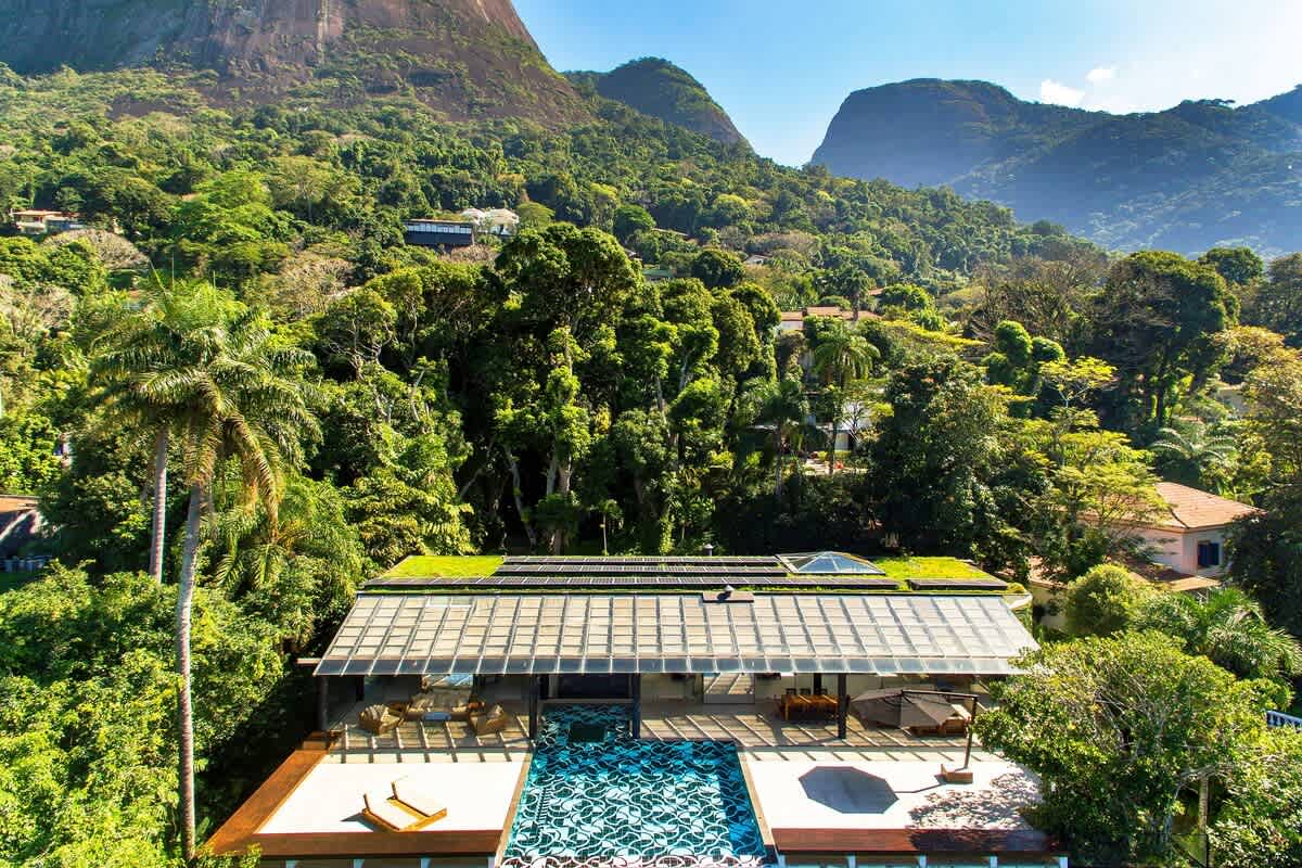
The consequence is the one you notice from the hillside. The flat floor of the valley, the most obviously buildable land in the neighbourhood, was committed to grass before Rio's twentieth-century building boom arrived. When development did come, it had nowhere to go but up the slopes.
That single fact is why the views here work. The houses are on the hill because the middle was already taken, and the middle stayed open, so from the slope you look across several hundred metres of fairway to the beach and the sea rather than into someone's window. More on the club itself.
1972: Niemeyer, Burle Marx, and the tower on the beach road
By the late 1960s São Conrado was being imagined as Rio's next great district, and the project that expressed that ambition was the Hotel Nacional on Avenida Niemeyer — designed by Oscar Niemeyer, inaugurated in 1972, with a curved cylindrical tower on the beachfront, gardens by Roberto Burle Marx, and a forty-five-metre mural by the artist Carybé made of two hundred and seventy concrete plaques.
It was, briefly, the most ambitious hotel in Brazil. Then it closed, and stayed closed for more than twenty years — a Niemeyer tower standing empty over one of the best views in Rio, which is roughly the most Rio thing that could have happened to it. The building has been part of the city's protected heritage since 1998, and the protection covers Burle Marx's landscaping as well as the architecture.
It reopened on 15 December 2016, a date chosen because it was Architects' Day and would have been Oscar Niemeyer's 109th birthday. It is now open again as a hotel, with a restaurant at the top of the tower — which makes it one of the few places in the neighbourhood where a visitor can walk into a piece of Brazilian modernism and have dinner in it. Where to eat in São Conrado covers that.
The hotel is also the clearest statement of what São Conrado was supposed to become and didn't. The grand-district version of the neighbourhood never fully arrived; what arrived instead was a quiet residential hillside with a golf course in the middle. Most people who live here consider that the better outcome.
The tunnels, and the woman one of them is named after
The other thing that shaped the neighbourhood is the way you get in and out of it. São Conrado sits in a bowl, so its connections are cut through rock: tunnels up to Gávea and the Lagoa, and the viaduct and tunnels west along the cliffs toward Joá and Barra. The Lagoa–Barra road that carries all of this runs straight through the middle of the golf course, dividing it in two.
The tunnel that climbs from São Conrado toward Gávea was originally Túnel Dois Irmãos. It now carries the name of Zuzu Angel, the fashion designer, and the story is a serious one. Her son, Stuart Angel, was disappeared under Brazil's military dictatorship, and she spent years publicly denouncing the regime over it. On 14 April 1976 she lost control of her Karmann Ghia at the tunnel's exit and fell some fifteen metres onto the access road to the Gávea golf club.
A year before her death she had written a statement saying that if she were found dead, by accident or otherwise, it would be the work of the men who killed her son. In 1998 Brazil's Special Commission on Political Deaths and Disappearances recognised — by four votes to three — that she had been the victim of a political attack. The tunnel was renamed in her honour, which means that the ordinary drive from São Conrado up to Gávea passes through a memorial, and most visitors have no idea.
The neighbourhood's other everyday landmark is harder to name comfortably but shouldn't be left out: Rocinha, one of the largest favelas in Brazil, occupies the hillside above the road on the Gávea side, and its scale is part of the view in that direction. The privacy and security guide deals with that plainly rather than pretending the hill is empty.
What the neighbourhood is now
Today São Conrado is residential, low-rise and green, with gated estates on the slopes, a golf course in the middle, a beach with hang-gliders coming down onto it, and Leblon fifteen minutes east along the cliff road. The commercial ambition of the 1970s left behind the Fashion Mall, which had its heyday in the 1980s as Rio's luxury shopping address and has been much diminished since, though new tenants and services keep arriving.
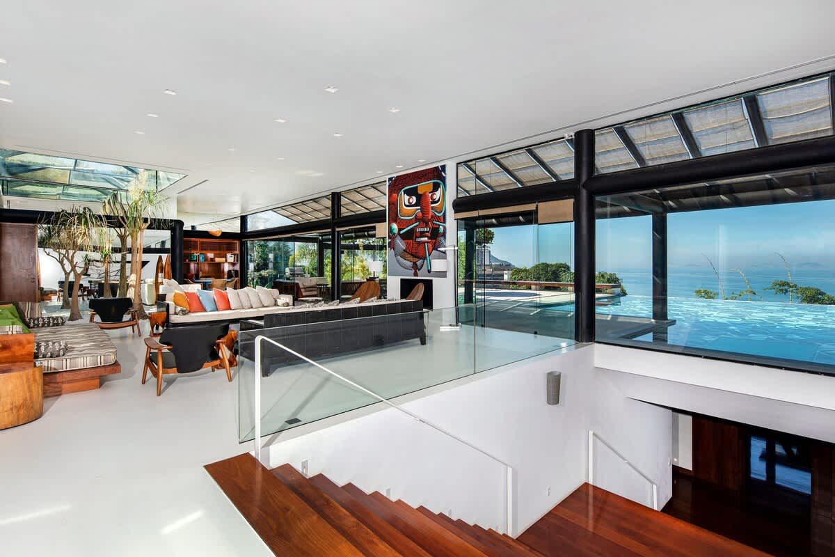
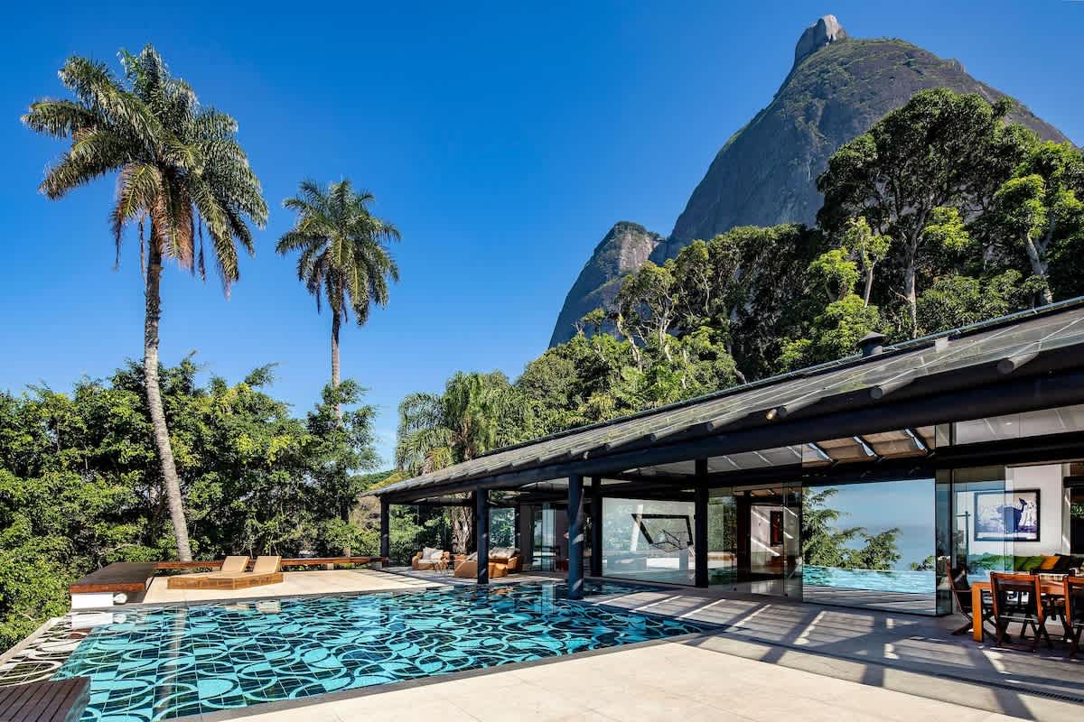
What has actually held its value is the geography — protected forest behind, protected open ground in the middle, and a cliff road that cannot be widened. The reason a house on this hillside has the view it has is that four decisions made between 1916 and 1972 accidentally locked the neighbourhood into staying low.
For the present-day version of all this — beaches, restaurants, what to do, how to get around — start with the neighbourhood guide.
Most of this is visible from the terrace, and the rest is a fifteen-minute drive. Ask us for dates and the concierge will show you the neighbourhood properly.